How global warming affects Mexico's mountains
From Mexico City and the State of Mexico to Puebla, global warming in Mexico is reshaping the high volcanic landscapes around Popocatépetl, Iztaccíhuatl, and Nevado de Toluca. The warning signs are not only hotter days, but also the loss of cold nights, seasonal snow, frost, fog moisture, and steady soil humidity—the quiet conditions that help mountain ecosystems hold water.
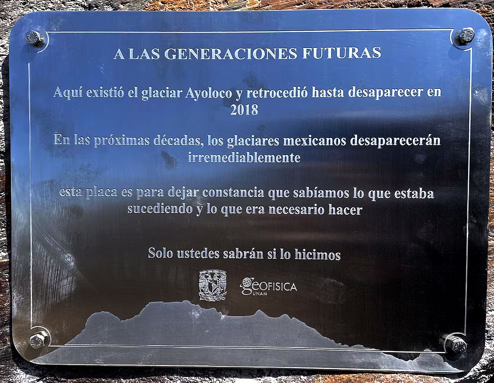
The decline of ice on Mexico's highest volcanoes is one of the clearest symbols of this warming. Popocatépetl has already lost its glacier, Iztaccíhuatl's ice has been reduced to fragile remnants, and the country's remaining high-mountain ice is now concentrated mainly on Citlaltépetl, or Pico de Orizaba. But for the teporingo's habitat, glaciers should be understood mainly as a climate warning sign—not as the direct water source that sustains the grasslands where the species lives.
The mountain water cycle on Mexican volcanoes
In these mountains, the water that matters most for high-mountain grasslands (zacatonal) comes from rain, fog, cloud moisture, seasonal snow, frost, and moisture stored in volcanic soil. When temperatures stay low, snow lasts longer, evaporation slows, and volcanic soils may retain more moisture through the dry season. As global warming reduces lasting snow and ice, there is also less cold-season water stored on the mountain. Meltwater and stormwater can run downslope faster, leaving forests, springs, and grasslands with less stable moisture when dry periods arrive.
Rain, fog, and seasonal snow → cold volcanic slopes, with the few high glaciers that remain in Mexico acting mainly as warning signs → infiltration into volcanic soil → springs, runoff, frost, and steady soil moisture → moist high-mountain grasslands → mountain habitat.
When this cycle weakens, high-mountain grasslands may grow less, recover more slowly, dry out, and burn more easily, since dry vegetation increases wildfire risk. What looks at first like a small shift in temperature can become a chain reaction: less cold, less slow water, weaker grasslands, more fire, and less shelter for wildlife.
Why this matters for the teporingo, or volcano rabbit
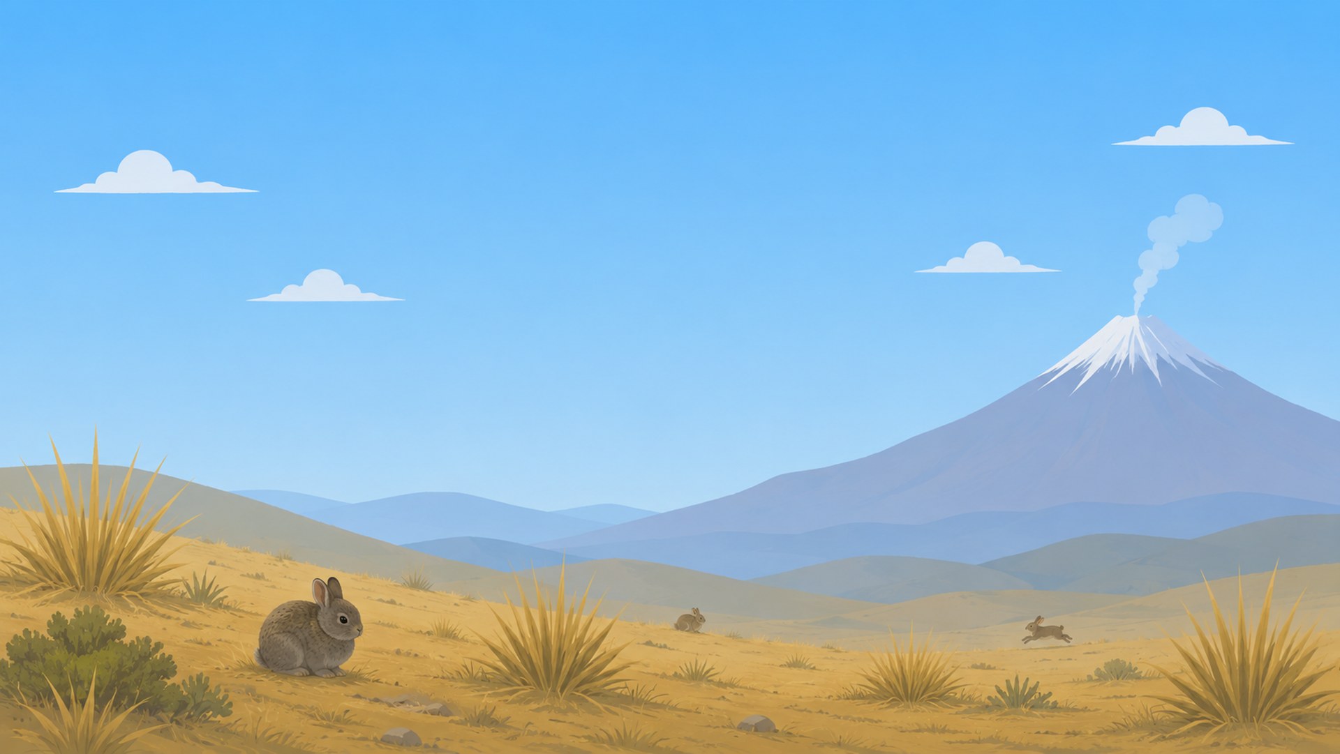
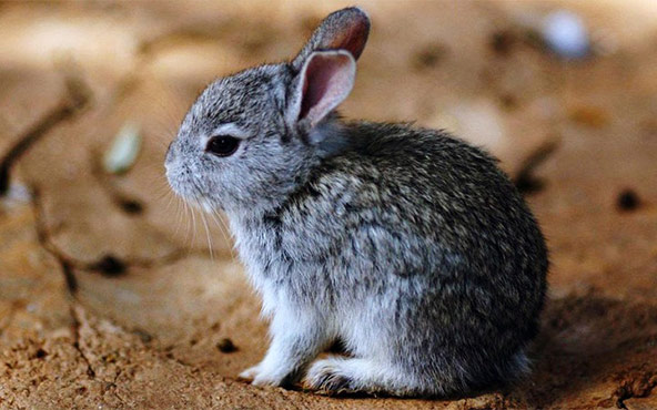
This is where the teporingo, also known as the volcano rabbit, becomes part of the story of climate change in Mexico. It does not live in glaciers and does not depend directly on glacier ice. It lives much lower, in cold mountain landscapes with conifer forests, rocky slopes, and dense bunchgrasses, especially in volcanic highlands such as Popocatépetl and Iztaccíhuatl. CONANP places the species between about 2,800 and 4,250 meters above sea level, in the zacatón belt, where open pine forests, dense grasses, rocky substrates, and humid mountain conditions shape its habitat.
The volcano rabbit is a habitat specialist. It depends on tall, dense bunchgrass cover for food, shelter, nesting sites, and protection from predators. Scientific work on the species has found that greater bunchgrass height and cover improve habitat quality, while agriculture, logging, habitat fragmentation, and fire continue to threaten the landscapes where it survives.
Nevado de Toluca: a record that should not be erased
The volcano rabbit's link to Nevado de Toluca must be treated openly, not set aside. The 1996 conservation volume on the zacatuche (Velázquez, Romero, and López Paniagua, eds., UNAM / Fondo de Cultura Económica) includes a map of specimen collection records of Romerolagus diazi, and the Nevado de Toluca area appears among them. These are collection records—not vague sightings—which makes them part of the species' documented scientific history.
Later studies have not confirmed a permanent population there, and some recent work argues that there is no current evidence on Nevado de Toluca. But controversy is not the same as absence from history. The volcano was part of the species' documented range, and today it is no longer confirmed there: an apparent local loss, or possible extirpation, that deserves public scrutiny instead of silence.
This matters because conservation is not only about protecting today's habitat: it is also about protecting the integrity of past records. When historical evidence is minimized, reinterpreted, or treated as if it had never existed, the public loses the ability to understand how much range may already have been lost. This page presents the documented record as we have found it. If anyone holds evidence that corrects or expands this account, we invite them to share it: the goal is an open and transparent debate about the true range of the volcano rabbit, not a closed official version.
From cold mountains to ecological deserts
That is why global warming is not an abstract threat on Mexican volcanoes. The loss of snow, ice, cold conditions, fog moisture, rainfall stability, and slow-moving water is a warning sign of broader ecological transformation. These mountains are not becoming literal sand deserts, but they can become ecological deserts: drier, eroded, more fire-prone landscapes with less vegetation, less water, and less ability to support wildlife.
For the teporingo, the danger is not one single disappearing glacier. The danger is a mountain system losing the cold, moisture, grass cover, and ecological continuity that once allowed small populations to survive across the Trans-Mexican Volcanic Belt. On Mexico's volcanoes, when the mountain loses cold and slow water, the future of the teporingo narrows too—one peak at a time.